Ten years ago, when the Sierra Club joined with marine sanctuary advocates in advocating for the Chumash Heritage National Marine Sanctuary, we were all very clear: There is a “doughnut hole” in California’s marine sanctuaries.
The Channel Islands sanctuary covers that environmental gem off the Santa Barbara Channel; the Monterey Bay sanctuary reaches down to Cambria. Adjacent to its northern border, the contiguous Gulf of the Farallones and Cordell Bank sanctuaries stretch all the way to Mendocino. This leaves San Luis Obispo County and northern Santa Barbara County as targets for new offshore drilling and very bad ideas like the proposal to pipe toxic agricultural wastewater from the San Joaquin Valley into Estero Bay. The Chumash sanctuary would close the gap and remove that target.
As you may have heard, last month, eight years after accepting the nomination from the Chumash, the National Oceanic and Atmospheric Administration (NOAA) released its plan to establish the Chumash Heritage National Marine Sanctuary off the Central Coast of California … almost.
There’s something missing in NOAA’s agency-preferred alternative version of the map that was submitted with the sanctuary nomination. The initial boundary alternative would fill the gap between Monterey Bay National Marine Sanctuary and Channel Islands National Marine Sanctuary and would protect 7,573 square miles of ocean. But the agency’s preferred boundary includes a cut-out of San Luis Obispo County waters of approximately 750 square miles between Cambria and Montaña de Oro and reduces the total boundary by nearly 2,000 square miles.
The problem: The shipping and undersea cables serving the future offshore wind farm will pass through that area, and NOAA does not want to regulate that industrial development in a national marine sanctuary. And the Salinan tribe also includes that coastal area as part of its historic lands, and its members have let it be known they would not appreciate a marine sanctuary there dedicated to Native American cultural heritage that omits their name.
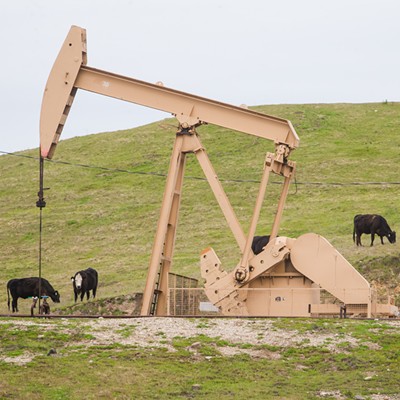
The solution: NOAA’s concern is basically the timing—i.e., if the area is designated as a marine sanctuary and then the cable and shipping infrastructure are allowed, that sets a precedent. But if the cables are laid and then the marine sanctuary is declared, no problem. National marine sanctuaries include any number of preexisting features that would not have been allowed if they were proposed to be constructed after the marine sanctuary was created. (Case in point: The proposed Gaviota Coast extension for the Chumash sanctuary includes the existing oil pipelines from the offshore rigs to the onshore processing plant.) Wind energy companies must submit maps of their cable routes for federal certification. Once the routes are certified, the cables become a preexisting fait accompli, and the marine sanctuary could then include the Point Buchon to Cambria region, which could also be designated as a special treatment area of the sanctuary, with a name acceptable to the Salinans.
Not a solution to anything: No marine sanctuary from Cambria to Montaña de Oro.
And the problem is not just screwing up the goal of having unbroken national marine sanctuary protections from the Channel Islands to Mendocino. The problem, if that gap is not closed, will be how severely sanctuary protections will be curtailed along the length of the California coast and beyond if those waters are not subject to the regulations proposed for this sanctuary.
That’s because migratory species pass through the 2,000 square miles of ocean between Cambria and Montaña de Oro. In that gap, per the Audubon Society’s annual Morro Bay count, are found more than 8,000 birds from 20 species. White sharks and bluefin tuna, sea lions and elephant seals, leatherback turtles and whales, sea otters, black-footed albatross, and many more pass through, and maps of their migration density tell the tale: The area that NOAA is proposing to take a pass on is the area of their highest concentration.
Dr. Stephen Palumbi is engaged in the effort to create an environmental baseline for the wind energy cable corridor and the new sanctuary. He notes: “A huge gap between sanctuaries will be an industrial corridor that marine life will have to jump. There will be no crosswalks for them. And the sanctuary system will lose many of its tools to preserve and protect this vast trove of ocean wildlife.”
As NOAA puts it, if a marine sanctuary is not designated, “New oil and gas development could occur in federal waters if the relevant federal agencies authorized such development. ... Commercial fishing, recreational, homeland security, and other vessels would not be subject to the discharge prohibitions in the proposed sanctuary regulations.”
State Sen. John Laird (D-Santa Cruz) agrees, writing, “Whatever the pathway, I implore NOAA to find a creative solution to ensure the protection of an unfragmented stretch of the Pacific Ocean between the Monterey Bay and Channel Island sanctuaries, while also enabling the successful implementation of offshore wind energy.”
That’s currently not the plan for 2,000 square miles of ocean proposed to be deleted from the Chumash Heritage National Marine Sanctuary.
If you’re not down with the gap plan, let NOAA know at act.sierraclub.org/actions/SantaLucia?actionId=AR0393640.
Andrew Christie is the executive director of the Santa Lucia Chapter of the Sierra Club. Send a response for publication to [email protected].


